Streets in Mesopotamian Cities: Urban Planning and Daily Movement
Streets in Mesopotamian cities were not accidental pathways created by random construction. They formed structured circulation systems that regulated movement, trade, security, and social interaction within dense urban environments. Although most streets were narrow and irregular, their placement reflected deliberate planning shaped by administrative control, economic needs, and environmental constraints.
In major centers such as Babylon, Uruk, and Nineveh, street networks connected residential districts with temples, markets, and city gates. Main routes facilitated transport and supervision, while secondary alleys limited access and reinforced neighborhood boundaries. This structure shaped how goods circulated, how authorities monitored populations, and how communities organized daily life.
This article examines how Mesopotamian streets were designed and used: how they supported trade and administration, how they controlled movement and security, how they managed water and waste, and how they functioned as social spaces. By combining archaeological layouts with administrative evidence, it explains why streets were central to urban governance and economic stability.
Street Layout and Urban Planning
Mesopotamian street networks were organized into hierarchical systems that connected major institutions with residential districts. Main streets linked city gates, temples, palaces, and markets, forming primary circulation routes for goods, officials, and large movements of people. These routes were wider and more stable than secondary paths.
Secondary streets and alleys branched from main routes into dense neighborhoods. They were narrow, irregular, and often ended in dead ends, limiting through traffic and reinforcing local control. This structure reduced congestion and protected residential zones from constant commercial activity.
Urban planning combined formal design with organic growth. While central areas followed administrative layouts, peripheral districts developed gradually through household expansion. Authorities regulated major routes but allowed flexibility within neighborhoods.
Street width and alignment reflected functional priorities rather than symmetry. Routes were shaped by property boundaries, drainage channels, and existing buildings. Rebuilding cycles maintained general pathways even as individual houses changed.
Overall, Mesopotamian street systems balanced control and adaptability. They enabled efficient movement between institutional centers while preserving social separation and neighborhood autonomy within crowded urban environments.
| Aspect | Description |
|---|---|
| Main Routes | Connected gates, temples, and markets |
| Secondary Streets | Narrow alleys and dead ends |
| Transport | Pedestrians and pack animals |
| Economic Role | Street-side trade and workshops |
| Infrastructure | Drainage and water channels |
Streets and Transportation
Transportation inside Mesopotamian cities was shaped by narrow streets, dense construction, and limited space. Most movement relied on pedestrians and pack animals, especially donkeys, which were the primary means of carrying goods within urban areas. Wheeled carts were used mainly on main routes and outside city centers, where space allowed easier passage.
Street design restricted heavy transport. Sharp turns, uneven surfaces, and narrow widths made large vehicles impractical in most residential districts. As a result, goods entering cities through gates were often unloaded and redistributed manually or by animals before reaching markets and workshops.
River transport played a major supporting role. In cities such as Babylon and Uruk, canals connected urban streets to waterways, allowing bulk goods to move efficiently between ports, warehouses, and commercial zones. Streets functioned as final distribution channels rather than primary transport corridors.
Movement patterns were also socially regulated. Officials, merchants, and temple workers had priority access to major routes, while ordinary residents circulated mainly within neighborhood streets. Processions, deliveries, and administrative inspections followed fixed paths, reinforcing state presence in daily movement.
Overall, Mesopotamian streets were designed for controlled, small-scale transport rather than heavy traffic. They supported steady circulation of people and goods while limiting congestion and preserving administrative oversight.
Streets and Economic Activity
Streets in Mesopotamian cities functioned as active commercial corridors rather than neutral transit spaces. Many economic activities extended beyond formal markets into main routes and neighborhood streets, where small-scale selling, craft production, and service work took place daily.
Workshops and shops were often located along major streets, allowing artisans and merchants to access passing customers. Potters, metalworkers, weavers, and food vendors operated near entrances, intersections, and market approaches, where foot traffic was highest. This placement increased visibility and reduced transportation costs.
Street-side trading complemented centralized markets. Farmers, fishermen, and small producers sold surplus goods directly from baskets or temporary stalls, especially during peak seasons. These informal exchanges increased supply flexibility and supported low-income households.
Storage facilities and warehouses were also connected to main streets, enabling efficient movement of goods between canals, gates, and commercial zones. Caravans and transport animals used these routes to deliver bulk commodities before redistribution into smaller units.
Economic competition shaped street use. Prime locations near intersections and institutional centers were controlled by established merchants, while peripheral streets hosted smaller and less stable businesses. Access to major routes therefore influenced income and social position.
Overall, streets formed an extension of the market system. They linked production, storage, and retail activity into continuous economic networks, making everyday commerce visible and accessible throughout the urban landscape.
Streets, Control, and Security
Street design in Mesopotamian cities supported administrative supervision and internal security. Narrow passages, limited access points, and frequent dead ends restricted movement and made neighborhoods easier to monitor. This structure reduced unauthorized traffic and strengthened local control.
Main routes were used for official movement, inspections, and transport of institutional goods. Their visibility allowed authorities to display power and regulate activity. Guards and administrators monitored these corridors, especially near gates, temples, and palaces.
Residential alleys functioned as semi-private spaces. Outsiders were easily noticed, and residents collectively enforced order. This informal surveillance complemented formal policing and reduced crime within dense districts.
Street layout also had defensive value. In case of unrest or invasion, narrow and irregular routes slowed attackers and limited large-scale movement. Barricades and temporary barriers could be installed quickly, turning neighborhoods into controlled zones.
Processions, religious ceremonies, and public announcements followed predetermined routes. By controlling these pathways, authorities managed public visibility and political messaging.
Overall, street networks served as instruments of governance. They shaped how people moved, gathered, and interacted, reinforcing political authority through spatial organization rather than direct coercion.
Mesopotamian Streets — Key Facts
- Street networks balanced control and movement.
- Main routes linked institutions and markets.
- Alleys reinforced neighborhood autonomy.
- Drainage systems protected buildings.
- Roads supported economic and political order.
Sanitation, Water, and Drainage
Street systems in Mesopotamian cities played a central role in managing water flow, waste disposal, and basic sanitation. Because of seasonal rains and periodic flooding, urban planners integrated drainage channels into main streets and residential alleys.
Stone-lined or brick-lined drains were installed beneath major routes in cities such as Babylon, Uruk, and Nineveh. These channels directed rainwater and household runoff toward canals or open areas outside residential zones. Smaller neighborhoods relied on surface gutters and sloped pathways to prevent water accumulation.
Waste management was simple but regulated. Organic waste, ash, and broken pottery were often deposited in designated pits, abandoned plots, or drainage edges. Street cleaning was a shared responsibility, enforced through local customs and administrative supervision. Neglected areas could block water flow and damage nearby buildings.
Water supply depended mainly on canals, wells, and storage jars. Streets connected residential blocks to water sources, allowing daily transport of water for cooking, washing, and craft production. In some districts, small channels diverted canal water into courtyards and public spaces.
Poor drainage created health and structural risks. Flooded streets weakened mudbrick foundations and increased disease exposure. For this reason, maintenance of drains and street surfaces was essential and frequently recorded in administrative documents.
Overall, sanitation infrastructure was closely tied to street design. Roads functioned not only as circulation routes but also as environmental management systems that protected urban stability and public health.
Continue Reading
Social Life in the Streets
Streets in Mesopotamian cities functioned as everyday social spaces where economic activity, communication, and community relations overlapped. Beyond transportation, they served as places for conversation, negotiation, conflict resolution, and public interaction.
Residents used neighborhood streets for daily encounters, childcare, informal work, and household coordination. Neighbors exchanged news, arranged marriages, settled minor disputes, and shared resources in these semi-public zones. This created strong local networks, especially in densely populated districts.
Main streets supported broader social interaction. Traders, travelers, officials, and messengers moved through these routes, spreading information about political decisions, military events, and market conditions. In cities such as Babylon, Uruk, and Nineveh, these routes acted as informal communication networks linking different social groups.
Public rituals and processions reinforced the social role of streets. Religious festivals, royal announcements, and ceremonial movements followed fixed pathways, temporarily transforming ordinary roads into symbolic spaces of collective identity.
Children played in side alleys, craftsmen worked near entrances, and vendors interacted with passersby. These activities blurred the boundary between private and public life, integrating households into the wider urban community.
Overall, streets were not passive infrastructure. They structured social relationships, transmitted information, and maintained communal cohesion, making them central to everyday urban experience in Mesopotamian cities.
Archaeological Evidence and Urban Mapping
Evidence for Mesopotamian street systems comes mainly from excavation plans, stratigraphic layers, and spatial mapping of residential blocks. Archaeological work in cities such as Babylon, Uruk, and Nineveh has revealed continuous networks of main routes, secondary alleys, and dead-end passages embedded within dense housing zones.
Excavated street surfaces show repeated resurfacing with compacted soil, brick fragments, and gravel. These layers indicate long-term maintenance and controlled circulation rather than temporary pathways. In some districts, wheel ruts, drainage lines, and foundation reinforcements mark areas of heavy traffic and institutional use.
Urban maps reconstructed from excavation data demonstrate clear hierarchies between major arteries and local streets. Main routes consistently align with gates, canals, and administrative centers, while neighborhood alleys follow property boundaries and domestic expansion patterns. This confirms a mixed system of planned and adaptive development.
Architectural remains also reveal infrastructure integrated into streets, including covered drains, water channels, and inspection points. These features support textual evidence for regulated movement and environmental management.
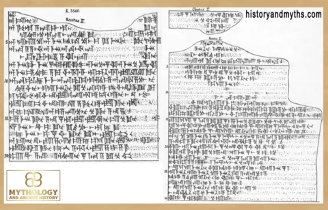
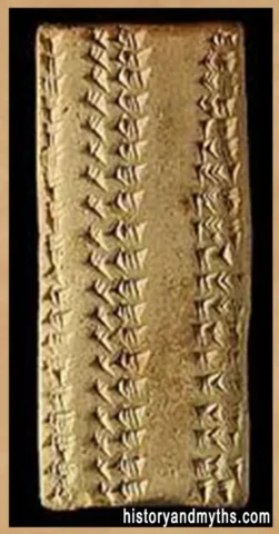
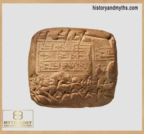
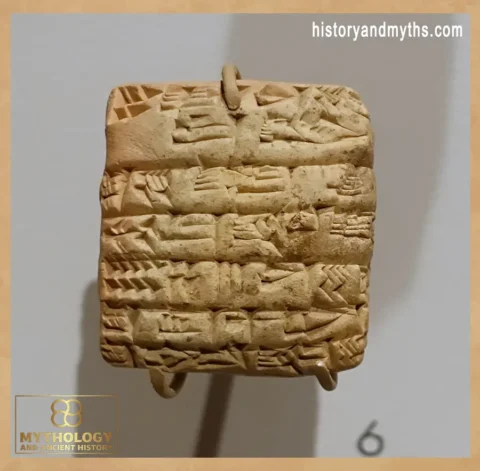
Cuneiform tablets complement physical data. Administrative records mention street repairs, boundary disputes, access rights, and transport routes, showing that roads were legally defined urban assets rather than informal spaces.
Together, excavation layouts, surface layers, and written documentation provide consistent evidence that Mesopotamian streets were deliberately maintained, socially regulated, and central to urban administration.
Key Takeaways
- Mesopotamian streets were part of urban governance.
- Design limited congestion and improved security.
- Commercial activity extended beyond markets.
- Drainage was essential for city stability.
- Roads shaped social interaction.
Frequently Asked Questions
Were Mesopotamian streets planned?
Yes, major routes were administratively planned, while alleys grew organically.
How wide were ancient streets?
Most were narrow, designed for pedestrians and pack animals.
Did streets support trade?
Yes, many workshops and vendors operated along main routes.
How was drainage managed?
Through underground channels and surface gutters.
Were streets controlled by authorities?
Main routes were monitored and legally regulated.
Sources & Rights
- Postgate, J. N. Early Mesopotamia: Society and Economy. Routledge, 1992.
- Van De Mieroop, Marc. A History of the Ancient Near East. Blackwell, 2016.
- Stone, Elizabeth C. Urban Life in Mesopotamia. Cambridge, 2013.
- Leick, Gwendolyn. Mesopotamia: The Invention of the City. Penguin, 2002.
- Oates, Joan. Babylon. Thames & Hudson, 1986.
- Algaze, Guillermo. The Uruk World System. Chicago, 2005.
- Liverani, Mario. The Ancient Near East. Routledge, 2014.
- Roaf, Michael. Cultural Atlas of Mesopotamia. Facts On File, 1990.
- Snell, Daniel C. Life in the Ancient Near East. Yale, 1997.
- Charpin, Dominique. Writing, Law, and Kingship. Chicago, 2010.
- Pollock, Susan. Ancient Mesopotamia. Cambridge, 1999.
Written by H. Moses — All rights reserved © Mythology and History